Senda
Every official hiking trail in the Valencian Community, with each day's weather.
What it is
Senda brings together the official hiking trails of the Valencian Community and tells you if today is a good day for each one.
What it does
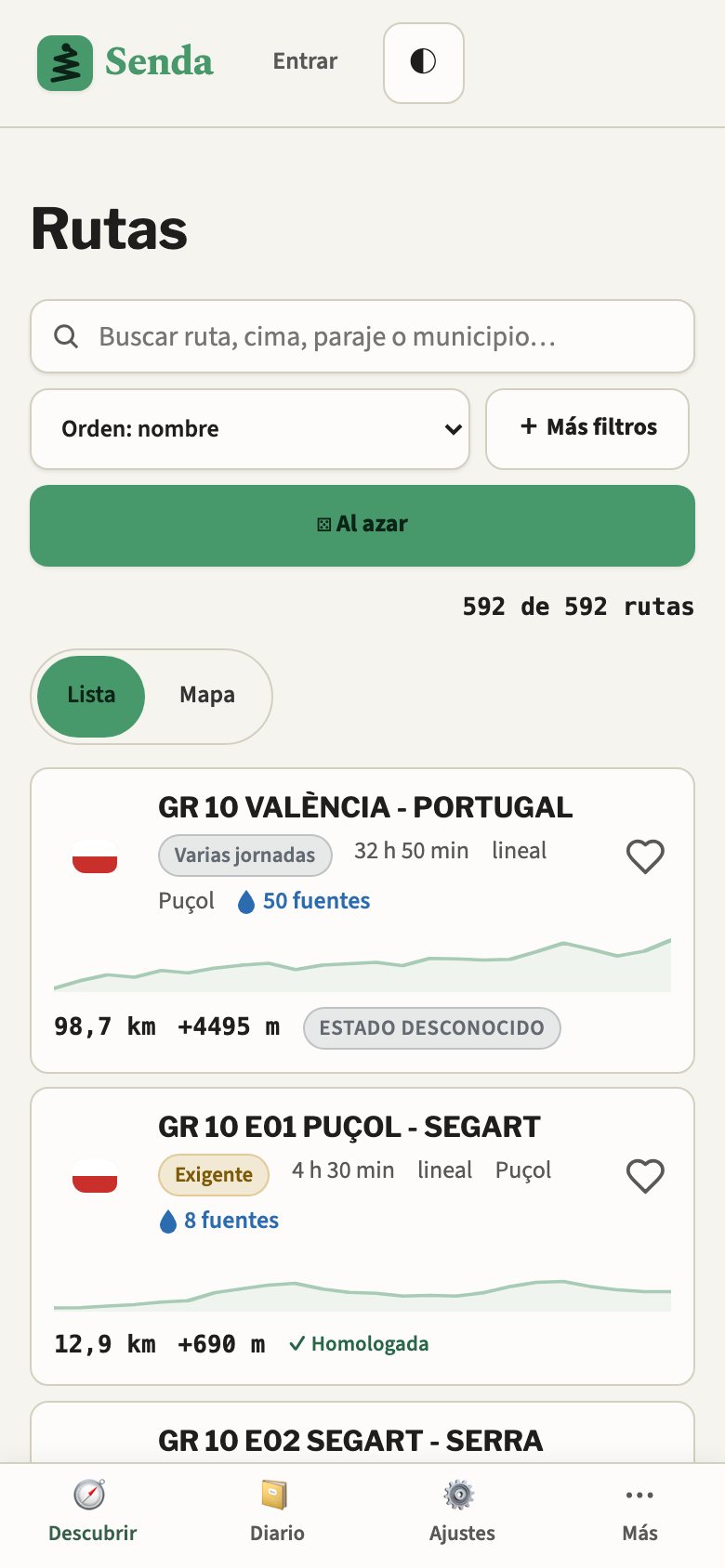
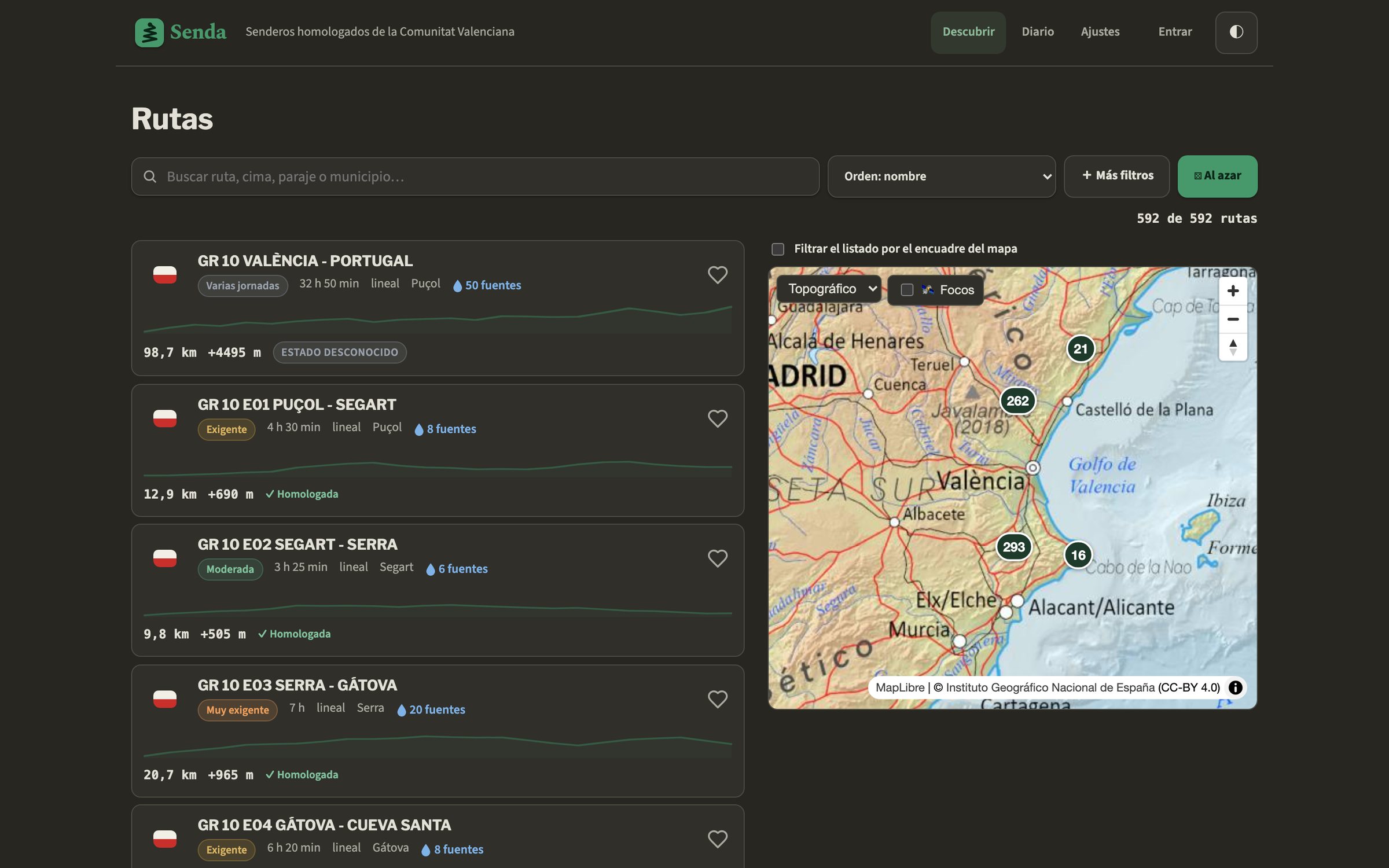
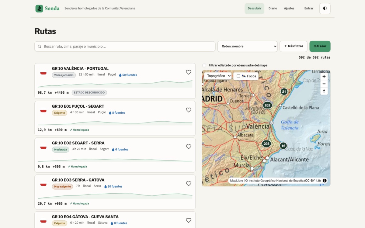
- Topographic map with all 592 trails, filters by difficulty, distance and elevation gain.
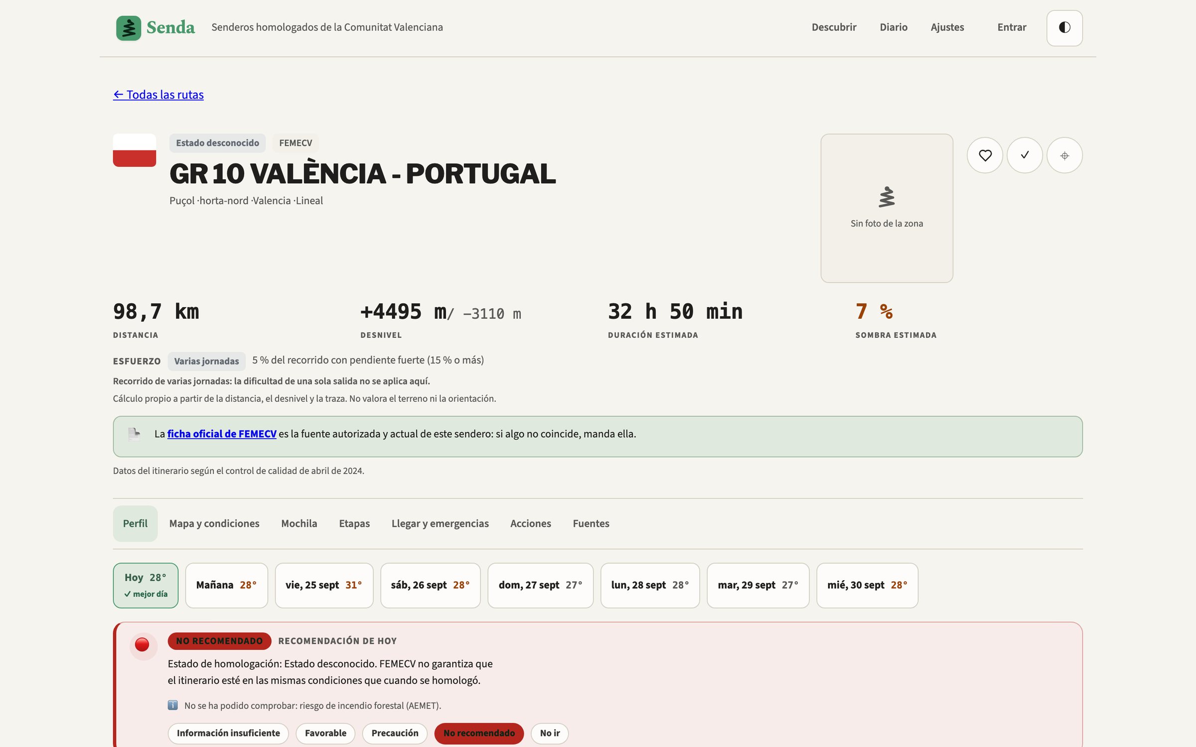
- Multi-day forecast (Open-Meteo) and wildfire risk (AEMET), with a recommendation per day.
- A suggested pack based on the trail and the weather.
- Markdown reports for Obsidian, and printable ones.
How it's built
Static SvelteKit with MapLibre, packaged with Tauri 2 for the apps. The official FEMECV listing always overrides the app's data.